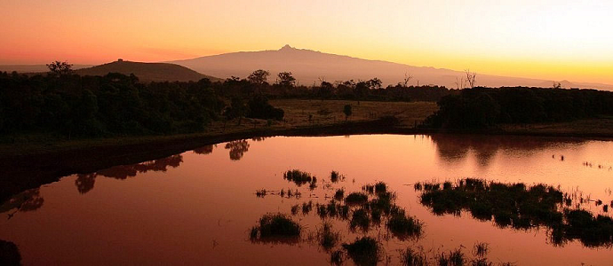
The Aberdares in Kenya are a remote volcanic range that forms the far eastern walls in the rift valley. It runs approximately 100km to the north south in between Thomsons Falls and Nairobi. Soils are red-coloured and also of volcanic origins, but abundant with natural and organic matter. There are two primary peaks, “Kinangop” and “Ol Donyo Lesatima”, split by a long saddle of alpine moors.
Aberdare boasts a rich botanic wealth, a combination of alpine vegetation and equatorial exuberance. The rainforest gives way to the bamboo woodlands, that at 3000 metres high turn into mountain prairies through which giant lobelias and groundsel grow well.
The Aberdare range can be found in the Central Province, the Central Highlands, north of Nairobi and west of Mount Kenya, serving as the Kenyan Rift Valley’s eastern wall. The national park consists of a longitudinal strip from north to south, having a projection towards the east dominated by “The Salient”, rendering it the 3rd largest park in the country.
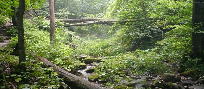
The park may be the highest in The African Continent, considering that the majority of the plateau is situated higher than an altitude of 3000 metres. The scenery is covered with significantly foggy rainforest, which gives the park a fairyland ambiance. Trout breed within the mountain streams that rush down breathtaking waterfalls, such as the “Keruru Kahuru”, as well as the “Gura”.
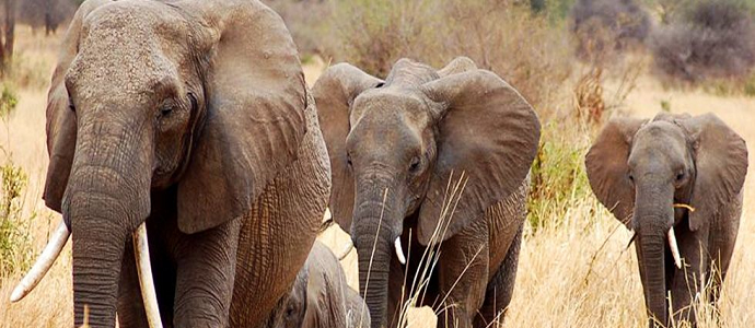
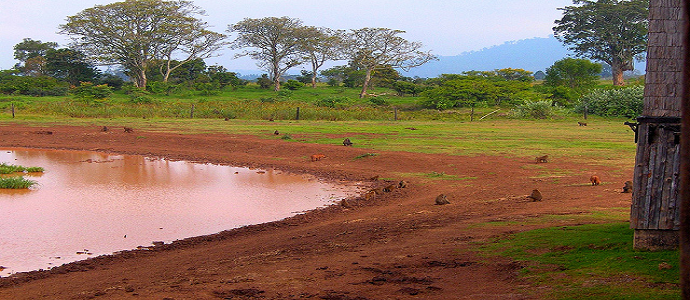
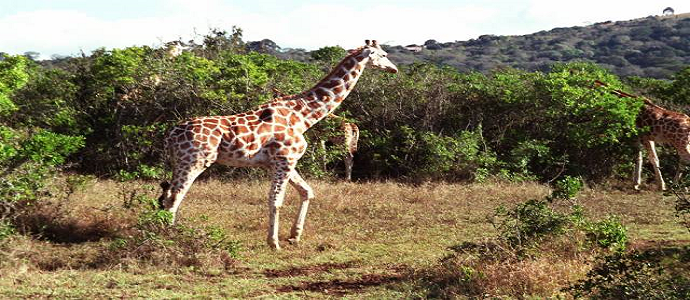
Sight-seeing opportunities are in abundance ranging from the fabulous Kinangop peak, The Lesatima peak, to the Elephant Hills and Table Mountains. Many different animals will most likely be seen, otably black rhinos and elephants amongst others. Night time observing of wild animals at the “Treetops” or the “Ark” can also be worthy of a visit.
As a result of the high humidity in the area , the trails bridging the park are likely to be quite muddy for most of the year.

